
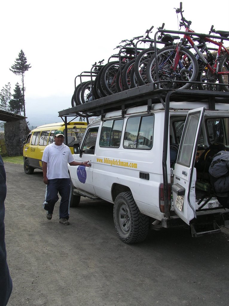
The guide owner really is a Dutchman. Apparently he showed up in Ecuador 30 years ago, planning to be here only a day... and then he found his future wife (an Ecuadorian who speaks German) and eventually started this mountain biking business. (I have included a link- click on this entry's title).
Two refitted landrovers follow group of bikers around for trips of generally 1 to 5 days and provide food and simple lodging. Apparently there are also trips for a few diehard groups from Europe that do multi-week , all over the country, tours!
I needed to get OUT of the city, and this seemed like a good way to do it! This particular "tour" included downhill from the refuge parking at the Parque Nacional de Cotopaxi (Cotopaxi is the tallest "active" volcano in the world), and then down hill from Quilotoa (an awesome volcanic crater lake) and a then a bunch of ups and downs through a gorgeous valley system! (see pic above).
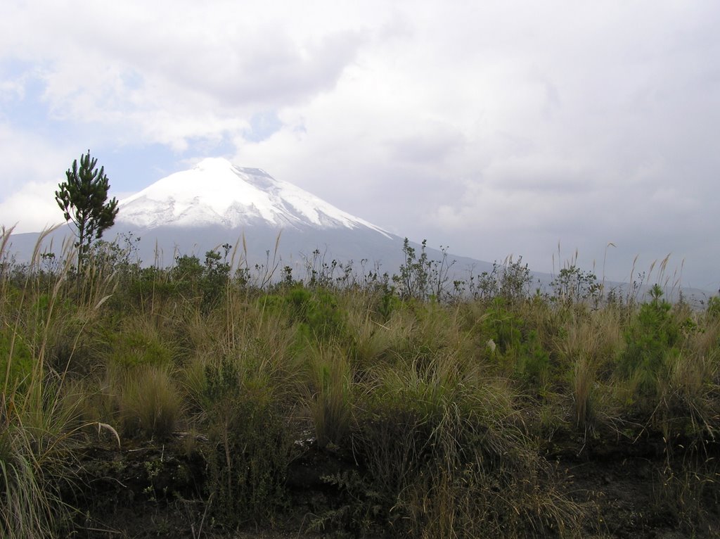
Below is Cotopaxi from a much lower point than our initial 15,000 feet! The terrain here is called Paramo, a highlands grasslands which is only found in Colombia, Ecuador and Peru (and maybe a bit of Chile).
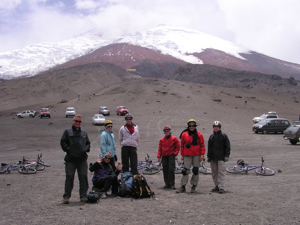
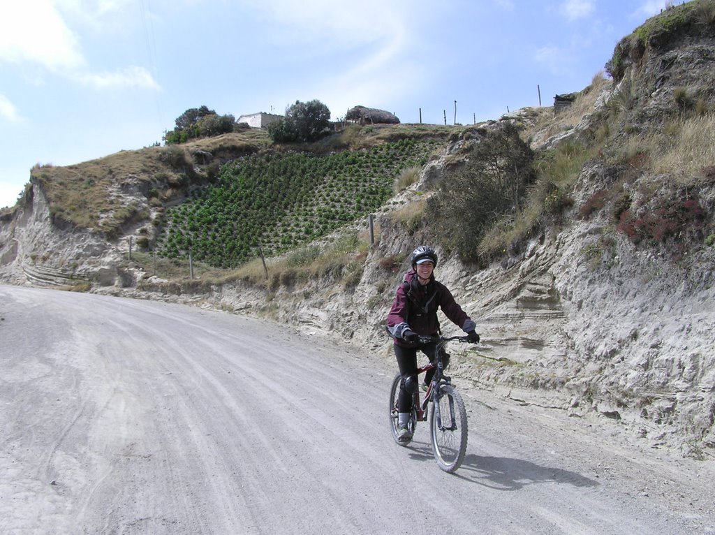
This next pic was taken from the top of our decent from Cotopaxi. You can see the refuge in the background where travelers stay and sleep for a few hours before attempting to climb. The cyclists in the forground were all part of the two day trip and are from Scotland, Germany, Switzerland and Holland.

Here is the sign at our initial point of departure, citing the altitudes of the park... I have a metric/british system conversion web page included in my links on the left!
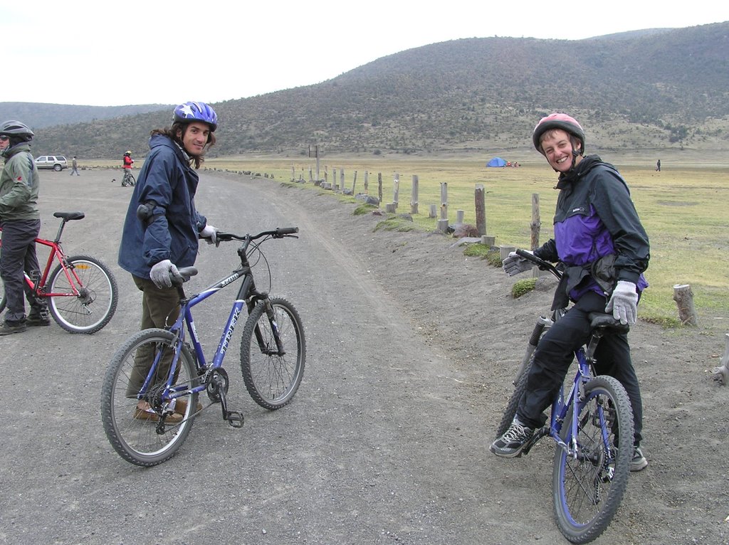
Below are some of my fellow cyclists, Hernan from Argentina and Tine from Scotland.
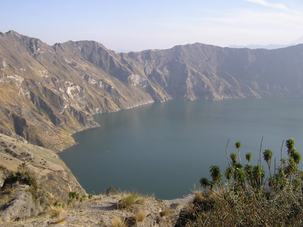
Here is the crater lake Quilatoa.
 After our Cotopaxi adventure (and my one and only dramatic fall, from which I still have some nice bruises... I am not sure I am a natural downhill biker!). Our group split, and those doing the one-day trip returned to Quito, while 14 of us continued on.... to a hostel to get some rest before the next day of biking!
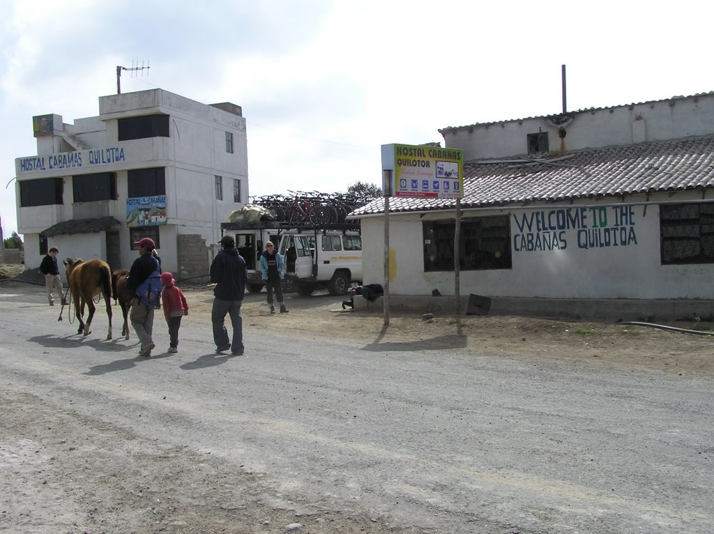 The hostel, and the WHOLE town... of 20 families.... had lost electricity that night, so we had an adventure finding places to sleep in the dark. The original plan in the morning was for everyone to take a morning hike down to the crater lake, return for breakfast and go for a fairly easy downhill ride for about 35 km. We were given another choice, however, to take a longer and more challenging route, but to not have time to hike to the crater lake. Everyone decided they wanted the longer challenging ride.
 Four of us decided that we ALSO wanted to hike to the cater lake, and I am glad we did! The lake was beautiful with the sunrise. We had to complete our hike by around 730am in order to get breakfast, so we started it at 6am. I decided to jump in the lake to have the full experience:-). It was COLD! No thermal vents still active in this crater (actually I am not sure)!
 The days biking was absolutely awesome with views around every corner. We were on an old , barely used, dirt road that went through a few towns.
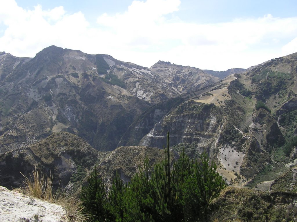
We ended our trek when the road turned to steep, unkept, cobblestone! I definately would recommend these trips to others... as long as you have spent at least some time on a mountain bike.

No comments:
Post a Comment